Subbasin Regions
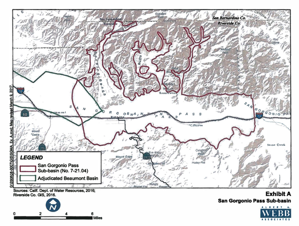
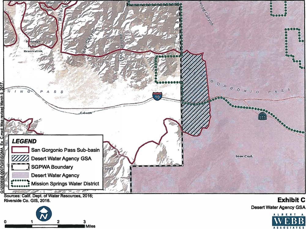
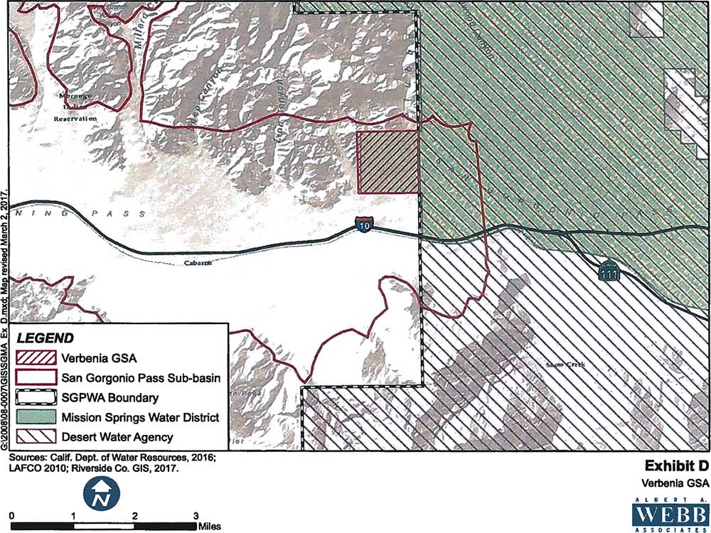
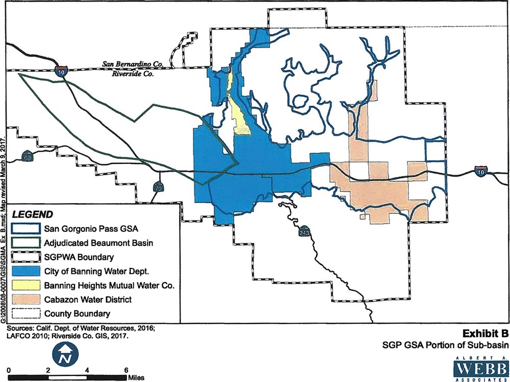
These maps illustrate the subbasin and its relationship to the various service areas of the GSA members.
Roughly, the subbasin is located between the City of Banning on the west and the community of Verbenia on the east. The westernmost portion of the subbasin, is included in the Beaumont Basin, which is an adjudicated basin, making it exempt from SGMA. Thus, this portion of the subbasin is not included in the GSP.
About the Region
Much of the subbasin is overlain by the reservation of the Morongo Band of Mission Indians. Under SGMA, Native American tribes as sovereign nations, cannot be members of GSA’s, and so the Morongos are not represented in the GSA’s. However, the tribe is an important stakeholder in the subbasin and has worked closely with the members of the GSA’s in the early stages of SGMA implementation. It will continue to be an important stakeholder as the GSP is developed.
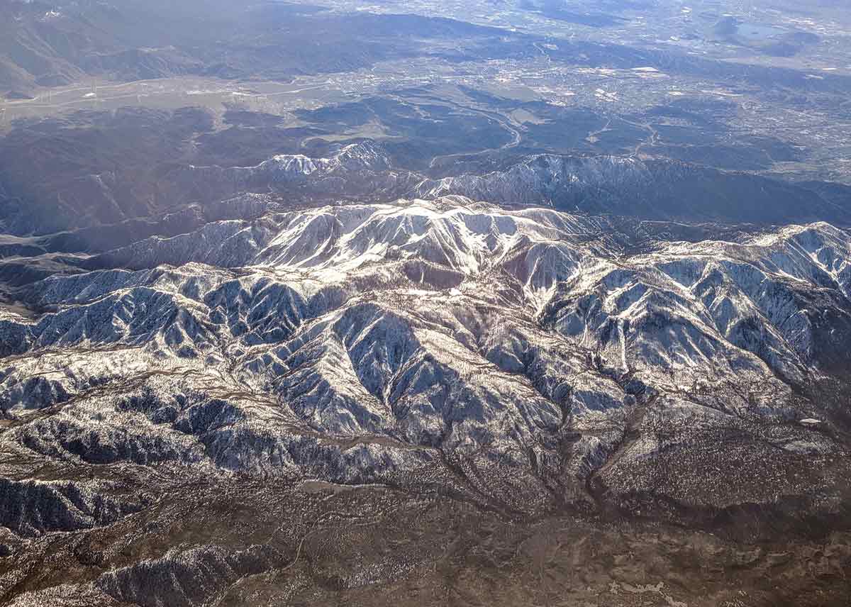
The subbasin itself is characterized by mostly desert terrain in the eastern 2/3 of the area. It receives very little annual rainfall. Most of the basin inflow emanates from precipitation, in the form of rain or snow, in the mountains to the north and south of the subbasin. Surface flow enters the subbasin through canyon flows, including the San Gorgonio River and various canyons located on the Morongo reservation.
Grant Agreement
The Agency applied for two grants—one to construct additional monitoring wells in the eastern portion of the subbasin, and the other to produce a GSP. Both grant proposals were for $1 million, the maximum allowed. The agency was successful in receiving both grants.
Because much of the area overlying the subbasin is considered to be in disadvantaged communities, or DAC’s, there are no required matching funds for the grants.
The first grant will be used to drill up to 15 monitoring wells in the eastern portion of the subbasin, near the boundary, at three separate sites. The Agency will partner with the United States Geologic Survey to drill the wells. The Agency and the Survey have worked together on numerous monitoring wells in the past. Data collected from the monitoring wells will be invaluable to the GSA’s in preparing the GSP for the subbasin.
The second grant will be used to contract with a consultant who will do the bulk of the work in developing the GSP. The various members of the GSA’s have contracted with the consulting firm of Provost & Pritchard to develop the GSP.

